Koszyk:
pusty

product
(empty)
Kolekcje
Tematy
- 3D
- Abstrakcja
- Afryka
- Ameryka
- Azja
- Dmuchawce
- Dżungla
- Europa
- Geometryczne
- Góry
- Kawa
- Konie
- Kosmos
- Krajobrazy
- Kwiaty
- One Color
- Las
- Liście
- Londyn
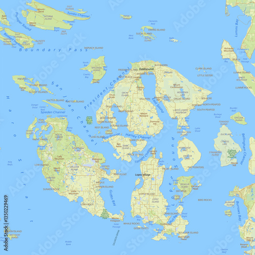
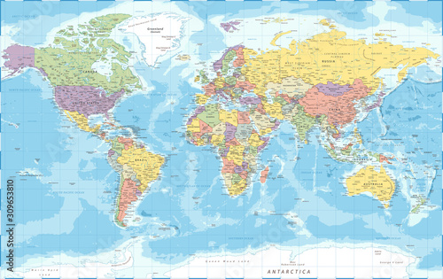
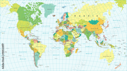
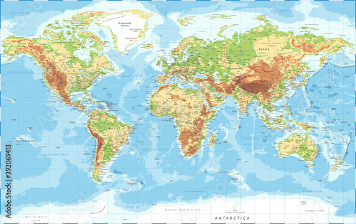
- Mapy
- Czarno-białe
- Militarne
- Mosty
- Motyle
- Morze
- Niebo
- Nowy Jork
- Optyczne powiększenie
- Owoce
- Pejzaż
- Piłka nożna
- Pióra
- Pojazdy
- Płytki ceramiczne
- Retro
- Sport
- Tunele
- Uliczki
- Wodospady
- Zachód słońca
- Zwierzęta
Przeznaczenie
Twój biznes


Kolekcje
Tematy
- 3D
- Abstrakcja
- Afryka
- Ameryka
- Azja
- Dmuchawce
- Dżungla
- Europa
- Geometryczne
- Góry
- Kawa
- Konie
- Kosmos
- Krajobrazy
- Kwiaty
- One Color
- Las
- Liście
- Londyn
- Mapy
- Czarno-białe
- Militarne
- Mosty
- Motyle
- Morze
- Niebo
- Nowy Jork
- Optyczne powiększenie
- Owoce
- Pejzaż
- Piłka nożna
- Pióra
- Pojazdy
- Płytki ceramiczne
- Retro
- Sport
- Tunele
- Uliczki
- Wodospady
- Zachód słońca
- Zwierzęta
Przeznaczenie
Twój biznes


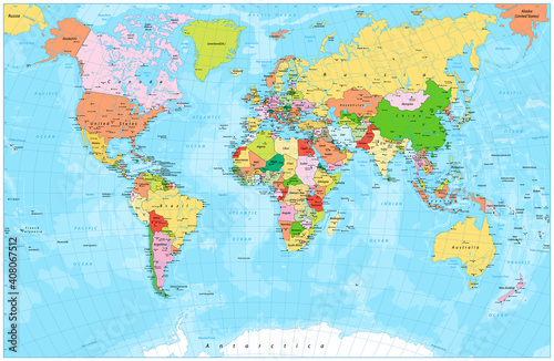
![political_world_map [Converted]](https://as1.ftcdn.net/v2/jpg/01/16/59/78/500_F_116597877_LhKwZfbeK4mbNN7LX09X2sW0wBSMrrc3.jpg)