Koszyk:
pusty

product
(empty)
Kolekcje
Tematy
- 3D
- Abstrakcja
- Afryka
- Ameryka
- Azja
- Dmuchawce
- Dżungla
- Europa
- Geometryczne
- Góry
- Kawa
- Konie
- Kosmos
- Krajobrazy
- Kwiaty
- One Color
- Las
- Liście
- Londyn
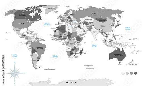
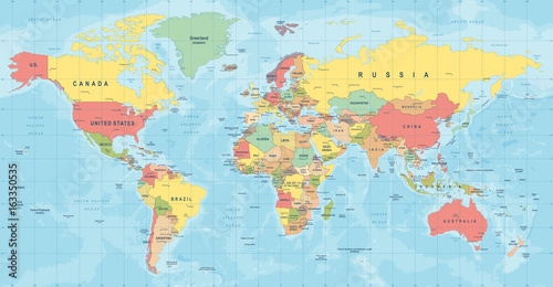
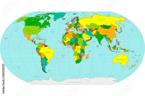
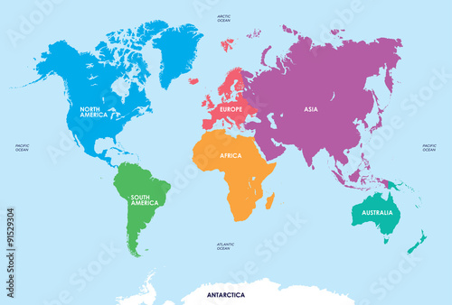
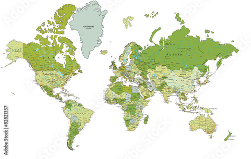
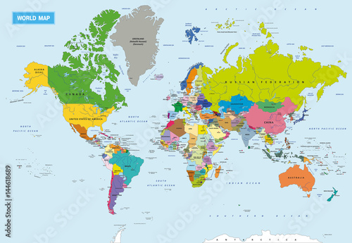
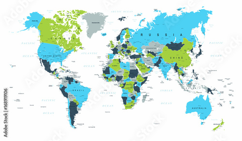
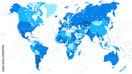
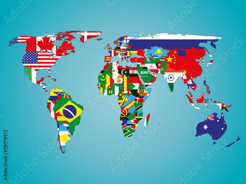
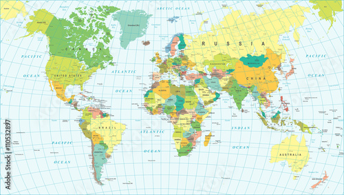
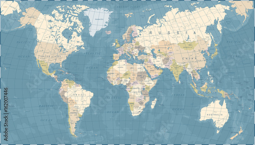
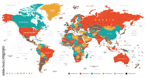
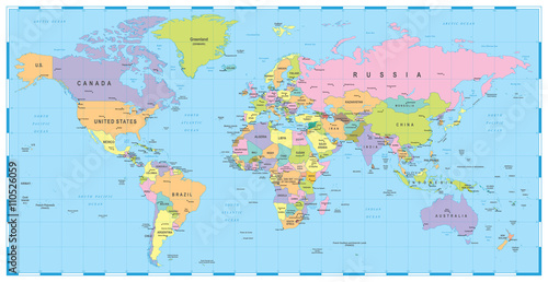
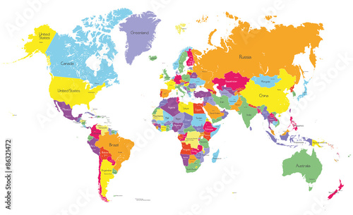
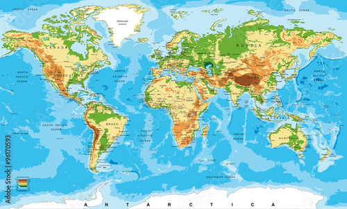
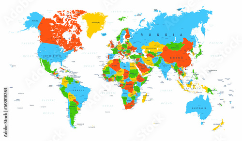
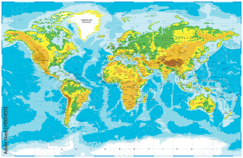
- Mapy
- Czarno-białe
- Militarne
- Mosty
- Motyle
- Morze
- Niebo
- Nowy Jork
- Optyczne powiększenie
- Owoce
- Pejzaż
- Piłka nożna
- Pióra
- Pojazdy
- Płytki ceramiczne
- Retro
- Sport
- Tunele
- Uliczki
- Wodospady
- Zachód słońca
- Zwierzęta
Przeznaczenie
Twój biznes


Kolekcje
Tematy
- 3D
- Abstrakcja
- Afryka
- Ameryka
- Azja
- Dmuchawce
- Dżungla
- Europa
- Geometryczne
- Góry
- Kawa
- Konie
- Kosmos
- Krajobrazy
- Kwiaty
- One Color
- Las
- Liście
- Londyn
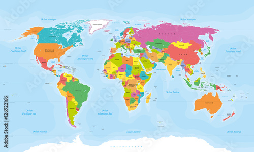
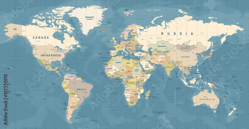
- Mapy
- Czarno-białe
- Militarne
- Mosty
- Motyle
- Morze
- Niebo
- Nowy Jork
- Optyczne powiększenie
- Owoce
- Pejzaż
- Piłka nożna
- Pióra
- Pojazdy
- Płytki ceramiczne
- Retro
- Sport
- Tunele
- Uliczki
- Wodospady
- Zachód słońca
- Zwierzęta
Przeznaczenie
Twój biznes
Kolekcje
Tematy
- 3D
- Abstrakcja
- Afryka
- Ameryka
- Azja
- Dmuchawce
- Dżungla
- Europa
- Geometryczne
- Góry
- Kawa
- Konie
- Kosmos
- Krajobrazy
- Kwiaty
- One Color
- Las
- Liście
- Londyn
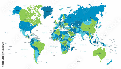
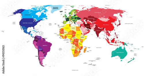
- Mapy
- Czarno-białe
- Militarne
- Mosty
- Motyle
- Morze
- Niebo
- Nowy Jork
- Optyczne powiększenie
- Owoce
- Pejzaż
- Piłka nożna
- Pióra
- Pojazdy
- Płytki ceramiczne
- Retro
- Sport
- Tunele
- Uliczki
- Wodospady
- Zachód słońca
- Zwierzęta
Przeznaczenie
Twój biznes
Kolekcje
Tematy
- 3D
- Abstrakcja
- Afryka
- Ameryka
- Azja
- Dmuchawce
- Dżungla
- Europa
- Geometryczne
- Góry
- Kawa
- Konie
- Kosmos
- Krajobrazy
- Kwiaty
- One Color
- Las
- Liście
- Londyn
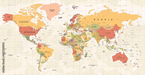
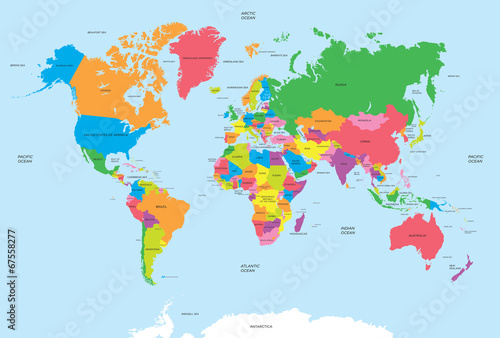
- Mapy
- Czarno-białe
- Militarne
- Mosty
- Motyle
- Morze
- Niebo
- Nowy Jork
- Optyczne powiększenie
- Owoce
- Pejzaż
- Piłka nożna
- Pióra
- Pojazdy
- Płytki ceramiczne
- Retro
- Sport
- Tunele
- Uliczki
- Wodospady
- Zachód słońca
- Zwierzęta
Przeznaczenie
Twój biznes
Kolekcje
Tematy
- 3D
- Abstrakcja
- Afryka
- Ameryka
- Azja
- Dmuchawce
- Dżungla
- Europa
- Geometryczne
- Góry
- Kawa
- Konie
- Kosmos
- Krajobrazy
- Kwiaty
- One Color
- Las
- Liście
- Londyn
- Mapy
- Czarno-białe
- Militarne
- Mosty
- Motyle
- Morze
- Niebo
- Nowy Jork
- Optyczne powiększenie
- Owoce
- Pejzaż
- Piłka nożna
- Pióra
- Pojazdy
- Płytki ceramiczne
- Retro
- Sport
- Tunele
- Uliczki
- Wodospady
- Zachód słońca
- Zwierzęta
Przeznaczenie
Twój biznes