Naklejki

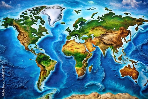
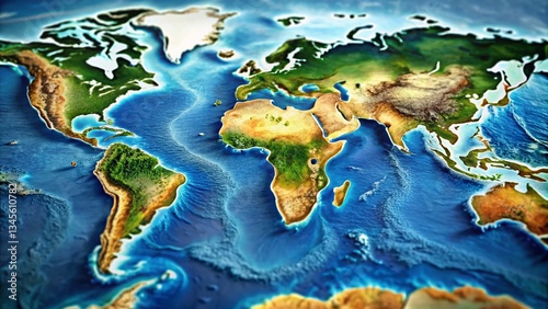
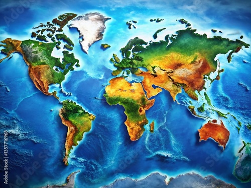
  • Aerial View of a Global Map Created with Drone Photography, Showcasing the Continents, Oceans, and Major Geographic Features in High Definition for Educational and Creative Use
    Dodaj do ulubionych
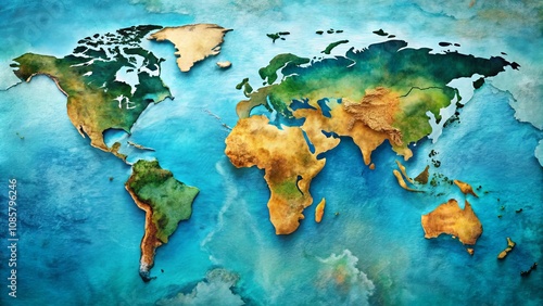
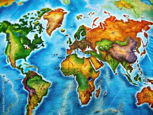
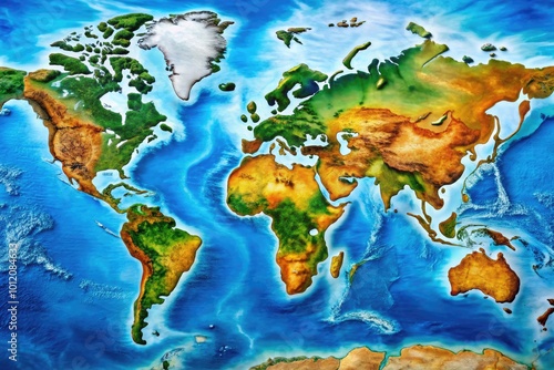
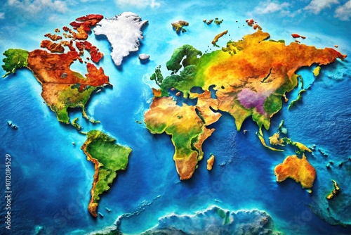
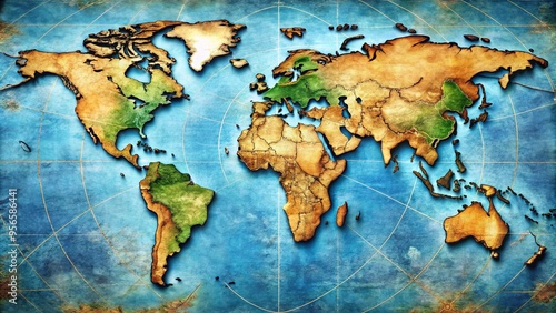
  • A textured, artistic rendering of the world map, depicting continents in earthy tones against a blue ocean background.
    Dodaj do ulubionych
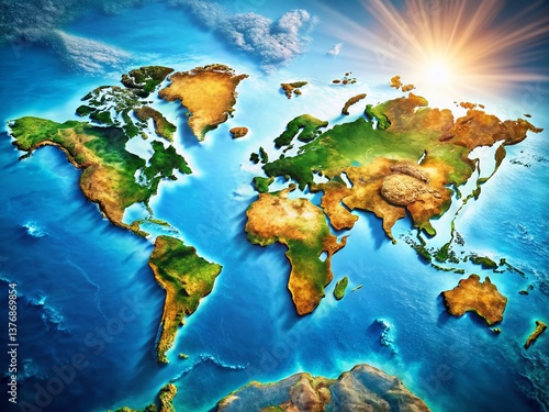
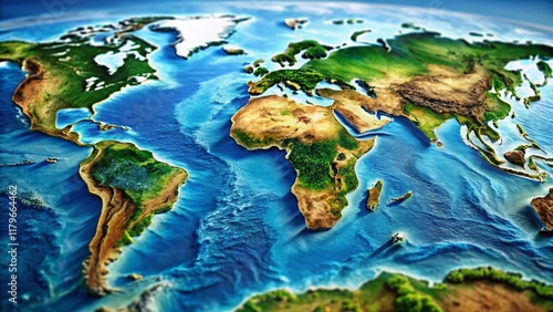
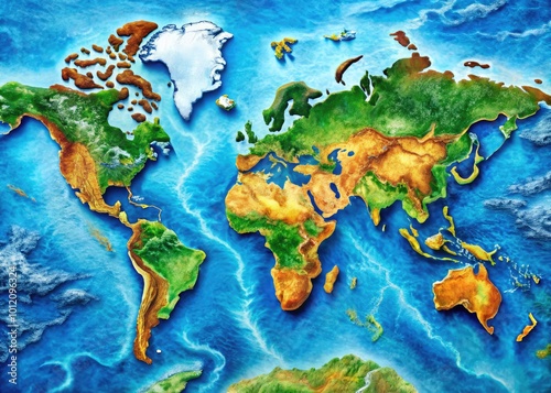
  • Stunning close-up images of the globe showcasing Earth's continents and oceans in vibrant colors
    Dodaj do ulubionych
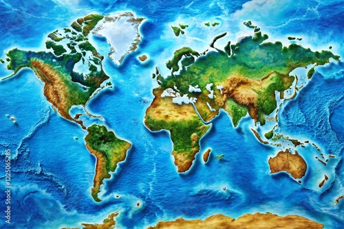
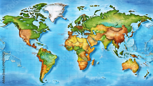
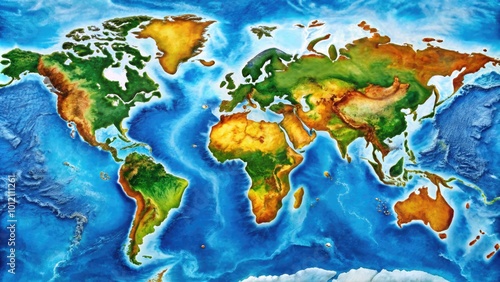
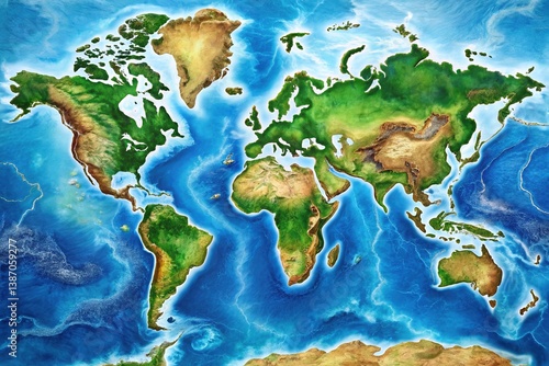
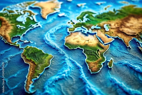
  • Detailed World Map Featuring All Continents and Oceans for Educational and Informational Use
    Dodaj do ulubionych
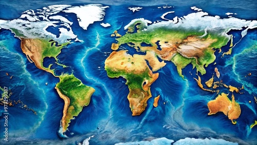
  • Aerial Drone Shot of World Map, Ocean Depths, Earth Globe
    Dodaj do ulubionych
  • High-Detail World Ocean Map: Geographic Atlas of Global Seas & Currents
    Dodaj do ulubionych
  • World Map, Blue Ocean, Global Navigation, Travel Background, Geography Illustration
    Dodaj do ulubionych
  • Detailed Map of Continents Featuring Geography, Borders, and Natural Landmarks for Educational Use
    Dodaj do ulubionych
  • Detailed World Map with Oceans Highlighted, Perfect for Educational and Travel Purposes
    Dodaj do ulubionych
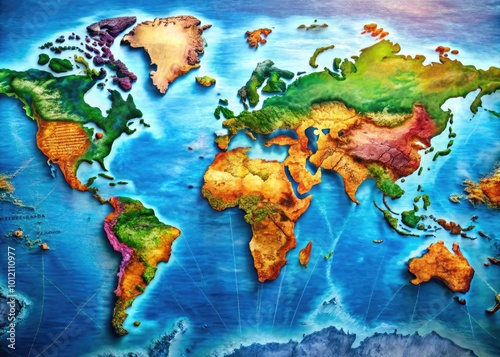
  • A vibrant, detailed, and colorful world map showcasing the 7 continents, country borders, and geographical features,
    Dodaj do ulubionych
  • Stunning World Map Illustration with Vibrant Colors and Intricate Geographical Details for Education
    Dodaj do ulubionych
  • 1. Asia
    Dodaj do ulubionych
  • Detailed colored map of the world with continents and oceans, world map, geography map, world map
    Dodaj do ulubionych
  • A beautifully colored and highly detailed illustration of the world map, showcasing continents, countries, and major
    Dodaj do ulubionych
  • A vibrant, detailed world map showcases the majesty of global waterways, highlighting thousands of rivers, lakes, and coastlines in a stunning visual representation of Earth's hydrology.
    Dodaj do ulubionych
  • Panoramic World Map: Detailed Ocean and Continent View
    Dodaj do ulubionych
  • Vibrant digital map of the Pacific Ocean and surrounding lands, featuring colorful country borders, ocean currents, and majestic mountain ranges illuminated by sunlight.
    Dodaj do ulubionych
  • Aerial View of Oceania Map Divided by Countries, Highlighting Geographical Features and Borders for Educational and Geographical Use in Presentations and Publications
    Dodaj do ulubionych
  • Detailed Full World Map Featuring Continents, Oceans, and Major Geographic Features for Educational Use
    Dodaj do ulubionych
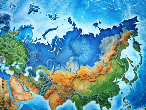
  • A detailed illustration of Russia's geographical boundaries highlighted on a vibrant blue world map, showcasing its
    Dodaj do ulubionych
  • Bay Map, Coastal Navigation, Geographic Exploration
    Dodaj do ulubionych
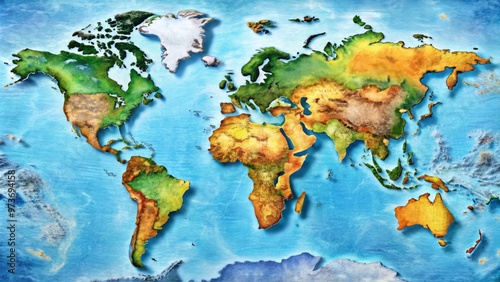
  • A detailed world map showcasing various continents and countries, highlighting geographical features and colors. This vibrant illustration serves as perfect educational tool for geography enthusiasts
    Dodaj do ulubionych
  • Explore Detailed Maps of Countries for Travel, Education, and Navigation with Stunning Visuals and Accurate
    Dodaj do ulubionych
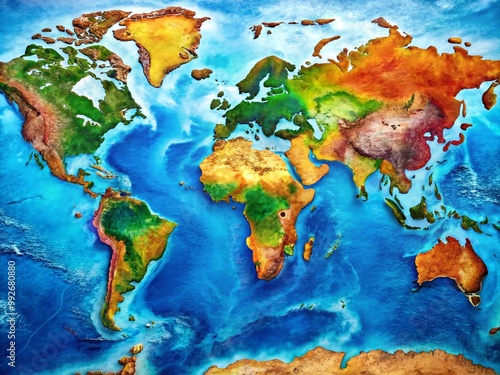
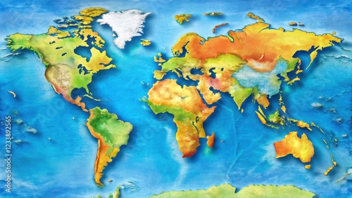
  • Vibrant colored map of the world with diverse geographical features and oceans , colorful, illustration
    Dodaj do ulubionych
  • Colorful Happiness Map of the World Highlighting Global Well-Being and Positive Emotions by Region
    Dodaj do ulubionych
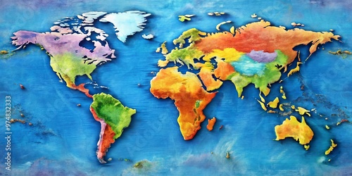
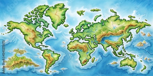
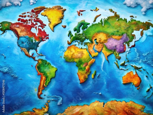
  • A vibrant watercolor depiction of the Earth's continents, showcasing diverse landscapes and the vast expanse of the oceans
    Dodaj do ulubionych
  • World Time Zones Map, Global Time Zones, International Time Zones, World Clock Map, Standard Time Zones Map, Blue Time Zone Map, High-Definition World Map
    Dodaj do ulubionych
  • Detailed Map of Continents and Oceans of the World for Educational and Informational Purposes
    Dodaj do ulubionych
  • Detailed World Map Featuring Seven Continents and Four Oceans for Educational and Creative Use
    Dodaj do ulubionych
  • Detailed World Map Infographic Showing Continents, Countries, and Key Geographical Features Visually
    Dodaj do ulubionych
  • Detailed Free Map of the World with Colorful Countries and Clear Borders for Educational Use
    Dodaj do ulubionych
  • world map with detailed topography and landmarks , , world map,topography, landmarks, geography, continents, countries
    Dodaj do ulubionych
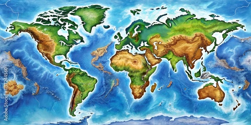
  • A Detailed Relief Map of the Earth's Continents and Oceans Showing Topographical Features
    Dodaj do ulubionych
  • High-Detail World Ocean Map: Deep Sea Exploration, Geographic Atlas
    Dodaj do ulubionych
  • Detailed World Map Illustrating Continents, Oceans, and Geographic Features for Educational Use
    Dodaj do ulubionych
  • Detailed and colorful huge world map illustrating continents, countries, and oceans for educational use
    Dodaj do ulubionych
  • Detailed Map of Major World Rivers Highlighting Key Waterways Across Continents and Countries
    Dodaj do ulubionych
  • Global Water Map - Hydrographic World Atlas
    Dodaj do ulubionych
  • World Rivers Map: High-Resolution Aerial View of Global Waterways
    Dodaj do ulubionych
  • Across a giant compass, seven continents sprawl, a kaleidoscope of diverse landscapes, climates, and cultures, shaping the planet's global geography.
    Dodaj do ulubionych

Ta strona używa ciasteczek do przechowywania informacji na Twoim komputerze. więcej >> ×