Plakaty

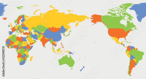
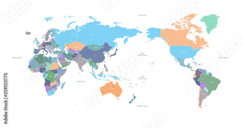
  • World map - Asia, Australia and Pacific Ocean centered
    Dodaj do ulubionych
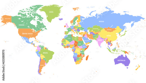
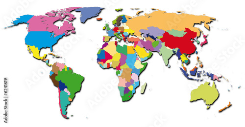
  • Colored world map. Political maps, colourful world countries and country names. Geography politics map, world land atlas or planet cartography vector illustration
    Dodaj do ulubionych
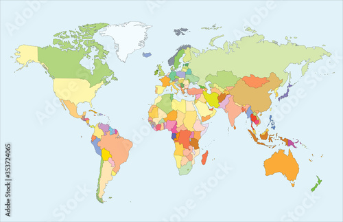
  • World map vector
    Dodaj do ulubionych
  • World map isolated on white background. for website layouts, background, education, precise, customizable, Travel worldwide, map silhouette backdrop, earth geography, political, reports.
    Dodaj do ulubionych
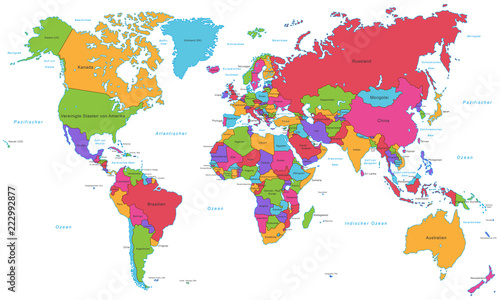
  • World Map - High Detailed Vector (Beschriftung)
    Dodaj do ulubionych
  • World map illustrating regions, using varied colors to represent data or categories across countries.
    Dodaj do ulubionych
  • world map made of colorful splashes vector illustration
    Dodaj do ulubionych
  • World Map Image, Photography, Global Illustration, Countries, Geography, Travel, Earth, Globe, Continent, Vector
    Dodaj do ulubionych
  • premium Colorful World Map, Global Atlas, Vector Illustration, Educational Map vector illustration
    Dodaj do ulubionych
  • Detailed Asia Map: Countries & Borders, Political Geography Stock Photo
    Dodaj do ulubionych
  • world country map. detailed colorful world map vector.
    Dodaj do ulubionych
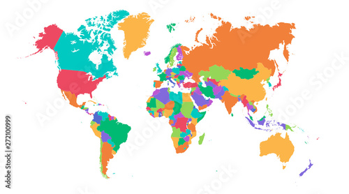
  • World map on white background. All countries in The World different colors. Can use for printing, website, presentation element, textile. World map vector illustration, high-resolution, travel.
    Dodaj do ulubionych
  • World map. Color modern vector map. Silhouette map
    Dodaj do ulubionych
  • A colorful political world map different countries,isolated on white background for website layouts,background,education, precise,customizable,Travel worldwide,earth geography, political,reports.
    Dodaj do ulubionych
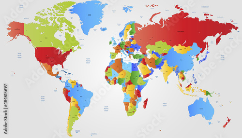
  • World map. High detailed political map of World with country, ocean and sea names labeling. 5 colors scheme vector map on white background
    Dodaj do ulubionych
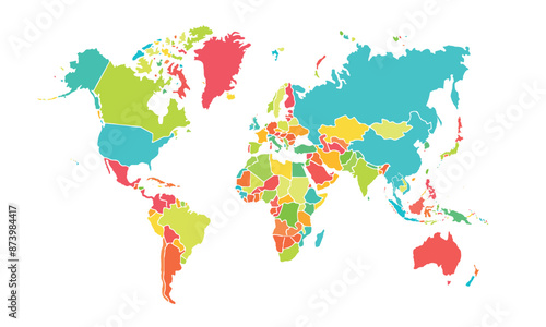
  • Colorful world map illustration with countries divided by distinct colors, presented as a clean vector graphic on a white background.
    Dodaj do ulubionych
  • Colorful global landmass illustration delineating continents on a white backdrop presenting geographical regions and continental demarcations in
    Dodaj do ulubionych
  • High detailed political map of World
    Dodaj do ulubionych
  • A Colorful World Map Depicting Global Regions Through Distinct Hues and Patterns of Dots on White
    Dodaj do ulubionych
  • Colorful Hi detailed Vector world map
    Dodaj do ulubionych
  • Colorful world map with country divisions
    Dodaj do ulubionych
  • World map in four shades of green on white background. High detail political map with country names. Vector illustration
    Dodaj do ulubionych
  • Kids World Map Illustration – Colorful Educational Continents Vector for Children
    Dodaj do ulubionych
  • world map
    Dodaj do ulubionych
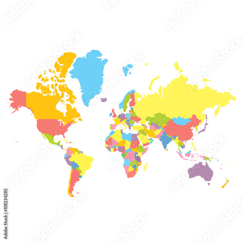
  • Colorfull vector political world map on white background. Each country colored in different color. Flat style mercator projection
    Dodaj do ulubionych
  • World map isolated .modern colorful style. for website layouts, background, education, precise, customizable, Travel worldwide, map silhouette backdrop, earth geography, political, reports.
    Dodaj do ulubionych
  • World map. Color vector modern. Silhouette map
    Dodaj do ulubionych
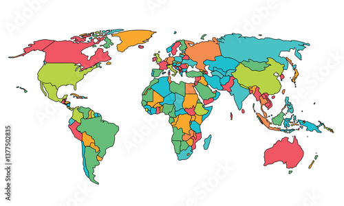
  • Cartoon pictures of world map on white background. All countries of the world in different colors. Can use for printing, website, presentation element, textile. Vector illustration.
    Dodaj do ulubionych
  • World map. Modern color vector map. Silhouette map.
    Dodaj do ulubionych
  • World map. High detailed political map of World with country names labeling. 5 colors scheme vector map on white background
    Dodaj do ulubionych
  • World Map Vector Illustration with Color Coded Countries for Geographical Regions and Continents Represented in Different Shades for Educational and Travel Use.
    Dodaj do ulubionych
  • World map. Modern color vector map. Silhouette map.
    Dodaj do ulubionych
  • World map with colorful countries, vibrant and clear political borders showing continents and nations in bright colors
    Dodaj do ulubionych
  • yellow unique World map
    Dodaj do ulubionych
  • World map isolated .modern colorful style. for website layouts, background, education, precise, customizable, Travel worldwide, map silhouette backdrop, earth geography, political, reports.
    Dodaj do ulubionych
  • World map. Silhouette map. Color modern vector map.
    Dodaj do ulubionych
  • World map isolated modern colorful style. for website layouts, background, education, precise, customizable, Travel worldwide, map silhouette backdrop, earth geography, political, reports.
    Dodaj do ulubionych
  • Colored political world map. Highly detailed flat colored vector world map with country borders. Template for web site, iconographics. Editable and clearly labeled layers.
    Dodaj do ulubionych
  • colorful world map
    Dodaj do ulubionych
  • world-colors
    Dodaj do ulubionych

Ta strona używa ciasteczek do przechowywania informacji na Twoim komputerze. więcej >> ×