Plakaty

  • World map with names of countries. Detailed india map. Isolated india map vector illustration on white background
    Dodaj do ulubionych
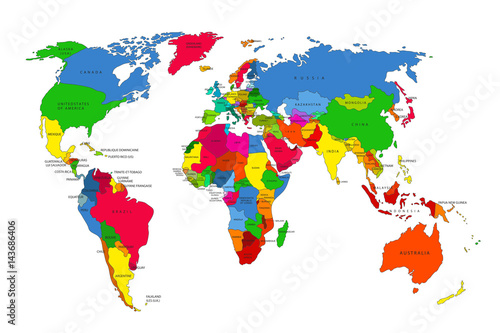
  • Carte Monde
    Dodaj do ulubionych
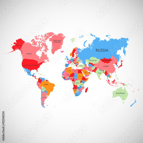
  • world map
    Dodaj do ulubionych
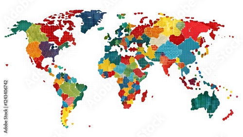
  • Colorful world map with distinct regions illustrated through vibrant colors and textured representation
    Dodaj do ulubionych
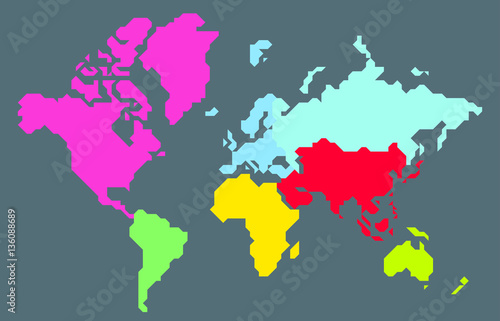
  • Abstract colorful pixel world map
    Dodaj do ulubionych
  • Map of North and South America isolated modern colorful style. for website layouts, background, education, precise, customizable, Travel worldwide, map silhouette backdrop, earth geography.
    Dodaj do ulubionych
  • World map. Color vector modern. Silhouette map.
    Dodaj do ulubionych
  • Dotted world map,color world map,Vector design illustration
    Dodaj do ulubionych
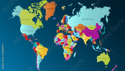
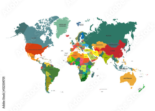
  • Colorful Political World Map Illustration. Simplified Country Borders
    Dodaj do ulubionych
  • Colorful World Map Illustration,Geography , Cartography
    Dodaj do ulubionych
  • Multicolor Switzerland map political regions simple flat vector
    Dodaj do ulubionych
  • Political map of the world.
    Dodaj do ulubionych
  • Colorful map of the world. Vector illustration.
    Dodaj do ulubionych
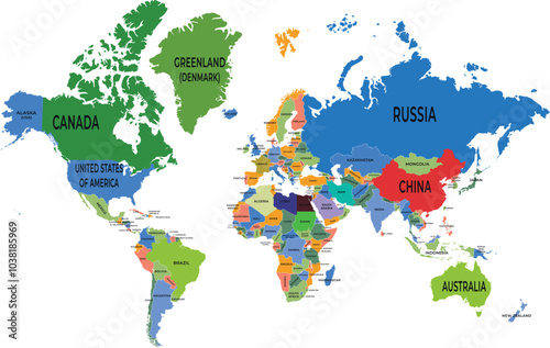
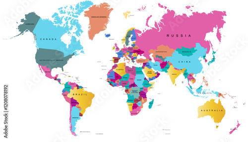
  • World map with country names isolated on white background. Vector illustration.
    Dodaj do ulubionych
  • Multicolor Asia map political regions simple flat vector
    Dodaj do ulubionych
  • Abstract colorful polygonal world map
    Dodaj do ulubionych
  • Colorful World Map
    Dodaj do ulubionych
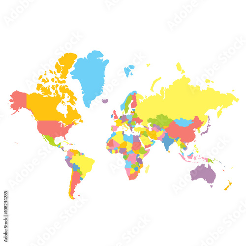
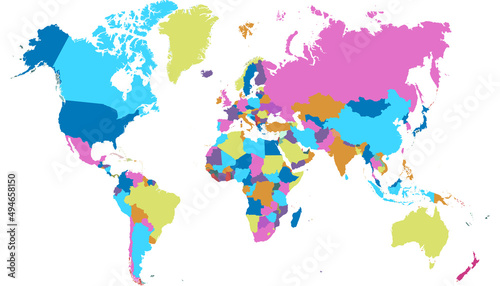
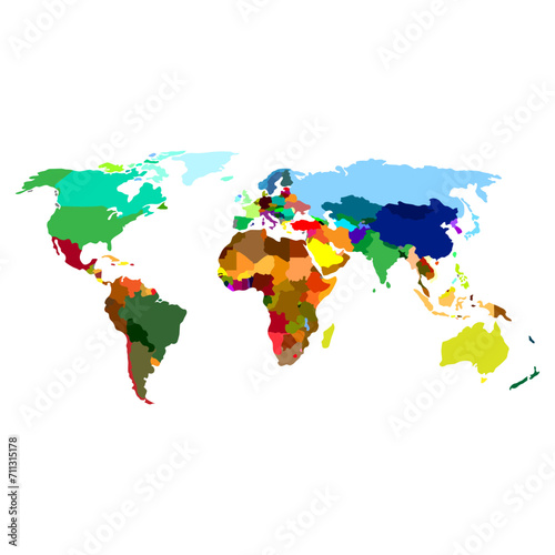
  • Colorfull vector political world map on white background. Each country colored in different color. Flat style mercator projection
    Dodaj do ulubionych
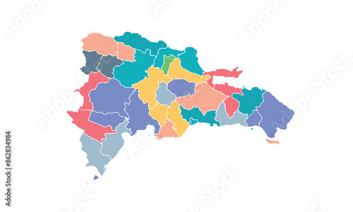
  • dominican map isolated modern colorful style. for website layouts, background, education, precise, customizable, Travel worldwide, map silhouette backdrop, earth geography, political, reports.
    Dodaj do ulubionych
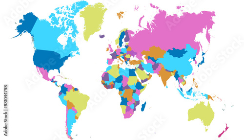
  • Colorful world map showing countries in distinct colors on white background
    Dodaj do ulubionych
  • World map isolated on white background. for website layouts, background, education, precise, customizable, Travel worldwide, map silhouette backdrop, earth geography, political, reports.
    Dodaj do ulubionych
  • Colorful World Map Illustration Depicting Geographic Landmasses and Cultural Diversity
    Dodaj do ulubionych
  • Vibrant and minimalistic world map illustration featuring continents in bold colors on a white background, showcasing a simple flat design with clean lines and ample white space
    Dodaj do ulubionych
  • Map of North america isolated modern colorful style. for website layouts, background, education, precise, customizable, Travel worldwide, map silhouette backdrop, earth geography, political, reports.
    Dodaj do ulubionych
  • World map. Color modern vector map. Silhouette map
    Dodaj do ulubionych
  • World map. Modern color vector map. Silhouette map
    Dodaj do ulubionych
  • Croatia map isolated modern colorful style. for website layouts, background, education, precise, customizable, Travel worldwide, map silhouette backdrop, earth geography, political, reports.
    Dodaj do ulubionych
  • World map. Color vector modern.
    Dodaj do ulubionych
  • Colorful of World, Different color shade of each continent, Simple flat vector map, isolated
    Dodaj do ulubionych
  • Colorful watercolor world map symbolizing diversity and inclusivity.
    Dodaj do ulubionych
  • Colorful Hi detailed Vector world map complete
    Dodaj do ulubionych
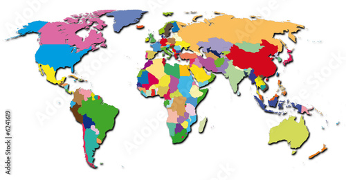
  • Colorful 3D World Map Global Travel Geography International Countries Continents International
    Dodaj do ulubionych
  • Colorful world map highlighting countries with vibrant colors representing various regions and cultures
    Dodaj do ulubionych
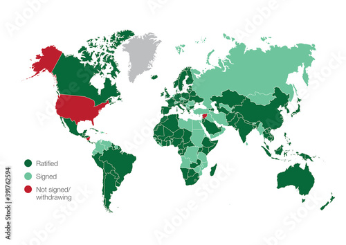
  • World map with the countries that have signed, ratified or withdrawn from the Paris climate agreement
    Dodaj do ulubionych
  • World map isolated .modern colorful style. for website layouts, background, education, precise, customizable, Travel worldwide, map silhouette backdrop, earth geography, political, reports.
    Dodaj do ulubionych
  • Detailed vector illustration of a world map. Ideal for global infographics, travel presentations, geography education, international business, and location-based designs.
    Dodaj do ulubionych
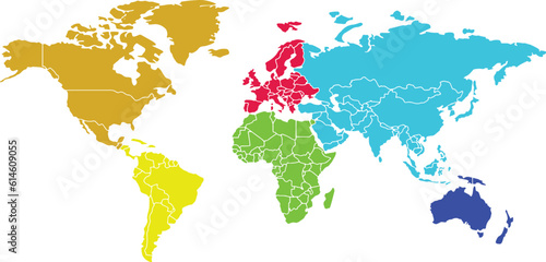
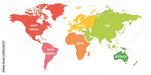
  • World map divided into six continents. Each continent in different color. Simple flat vector illustration
    Dodaj do ulubionych
  • world-colors
    Dodaj do ulubionych
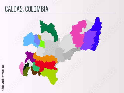
  • Mapa de Caldas, Colombia
    Dodaj do ulubionych
  • A colorful political world map different countries,isolated on white background for website layouts,background,education, precise,customizable,Travel worldwide,earth geography, political,reports.
    Dodaj do ulubionych

Ta strona używa ciasteczek do przechowywania informacji na Twoim komputerze. więcej >> ×